
Mare
JTC-1519
Mare Serenitatis
On the pale inner floor of the Sea of Serenity, a lava plain so flat that altimeters struggle to find a metre of relief for miles.
- Coordinates
- 27.90° N, 18.40° E
- Diameter
- 4.7 km
$22View crater
Schematic elevation, rendered from catalogue data. Sunlight from the west.
Mare Serenitatis
24.10° N, 12.60° E
Where the Sea of Serenity meets the highlands, on ground that has been struck, flooded by lava, and struck again.
Sits close to the monthly terminator line twice a month, which is when its shadow is longest.
Large craters that catch the sunrise line and throw kilometres of shadow.
Dedication
$22
One-off payment
Free shipping from Joshua Tree, CA
The Moon keeps one face turned toward Earth, so your crater is fixed in the same spot of sky every clear night of your life.
JTC-1583 lies at 24.10° N, 12.60° E, in Mare Serenitatis. On the map, north is up and east is to the right, exactly as it appears through a telescope from the high desert.
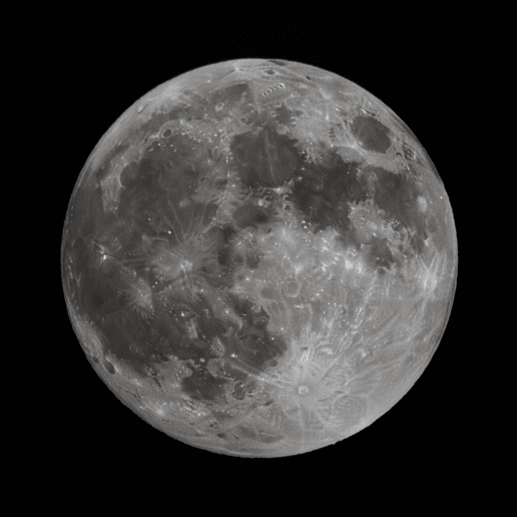
Mare Serenitatis
On the pale inner floor of the Sea of Serenity, a lava plain so flat that altimeters struggle to find a metre of relief for miles.
Mare Tranquillitatis
Less than 200 kilometres from Tranquility Base, where Apollo 11 set down in July 1969. The same dark basalt that took the first human footprint.
Montes Apenninus
In the foothills of the Lunar Apennines, within sight of Hadley Rille, where Apollo 15 parked the first vehicle ever driven on another world.
